The Broken Sailor Who Mapped the World's Oceans Without Leaving His Desk
When the Journey Ends Before It Begins
In 1839, Lieutenant Matthew Fontaine Maury was riding a stagecoach through Ohio when the horses spooked. The carriage overturned, shattering his right leg so badly that doctors weren't sure he'd ever walk normally again. For most naval officers, this would have been the end of the story. For Maury, it was just the beginning of something extraordinary.
The accident forced him off active duty and into a desk job at the Naval Observatory in Washington, D.C. While his fellow officers sailed the seven seas, Maury found himself surrounded by something far less glamorous: thousands of dusty logbooks that previous captains had filed away and forgotten.
Most people would have seen paperwork. Maury saw patterns.
The Orphan's Education
Matthew Fontaine Maury's path to this moment had been anything but conventional. Born in 1806 in Spotsylvania County, Virginia, he was orphaned young and sent to live with relatives in rural Tennessee. His formal education was sparse—a few years at a small academy in Nashville—but his curiosity was boundless.
As a teenager, he memorized every river system in America by studying maps late into the night. When he secured an appointment to the U.S. Naval Academy through sheer determination and political connections, his classmates from wealthy families looked down on the country boy who spoke with a Tennessee drawl.
But Maury had something they didn't: an obsession with understanding how the world actually worked.
Reading the Ocean's Diary
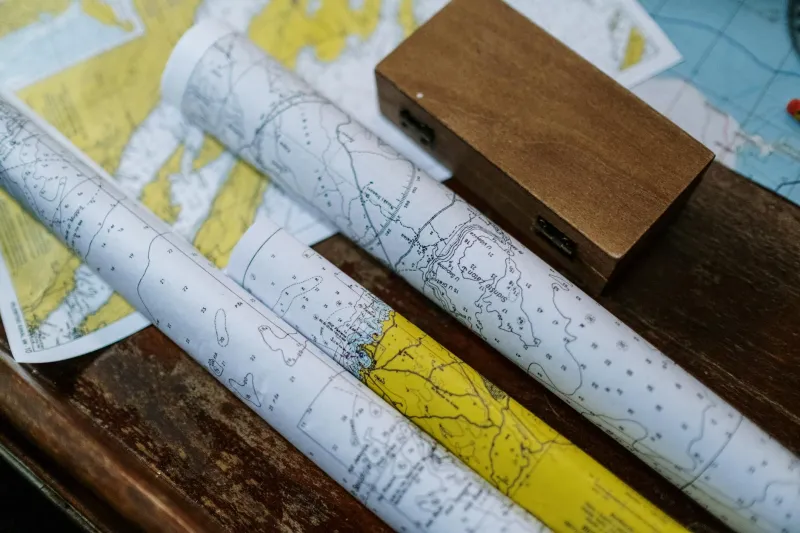
Confined to his Washington office, Maury began what seemed like the world's most tedious research project. He read through decades of ship logs, noting wind directions, current speeds, weather patterns, and sailing times. Each entry was just a fragment—a single ship's experience on a specific day—but Maury began to see the bigger picture.
Ship captains had been crossing the Atlantic for centuries, but they were essentially flying blind. They knew their destinations, but they had no systematic knowledge of the winds and currents that could speed their journey or slow them to a crawl. Every voyage was a gamble against forces they couldn't predict.
Maury realized that buried in those forgotten logbooks was a treasure trove of oceanographic data. Thousands of captains had unknowingly been conducting scientific experiments every time they set sail.
The Man Who Tamed the Seas
Working eighteen-hour days, Maury compiled and analyzed weather and current data from over a million ship observations. He created the first comprehensive wind and current charts of the world's oceans, showing captains the fastest routes between any two points on the globe.
The results were immediate and dramatic. Ships using Maury's charts cut their sailing times by weeks, sometimes months. The voyage from New York to San Francisco—crucial during the California Gold Rush—dropped from an average of 180 days to 133 days. The trip from New York to Rio de Janeiro was reduced by 10 days.
These weren't just numbers on a page. Shorter voyages meant less time for storms to strike, fewer opportunities for scurvy to set in, and reduced costs for shipping companies. Maury's charts literally saved thousands of lives and millions of dollars.
The Unlikely International Celebrity
Word of Maury's work spread far beyond America's shores. European shipping companies began requesting copies of his charts. The British Admiralty—traditionally suspicious of American naval innovations—grudgingly admitted that Maury's maps were superior to anything they had produced.
In 1853, Maury organized the world's first international maritime conference in Brussels, where representatives from ten nations agreed to standardize how ships would collect and share oceanographic data. This Tennessee orphan who had never commanded a major vessel was now setting maritime policy for the entire world.
His book "The Physical Geography of the Sea," published in 1855, became the first comprehensive textbook on oceanography. It was translated into multiple languages and established Maury as the father of modern maritime science.
When War Divided the Waters
The Civil War presented Maury with an impossible choice. Despite his international reputation and comfortable position in Washington, he resigned from the U.S. Navy to serve the Confederacy. His decision cost him dearly—after the war, he was effectively exiled from American scientific circles.
Yet even in defeat, Maury's contributions to maritime safety continued to save lives around the world. His charts remained the standard for international shipping well into the 20th century.
The Desk That Changed Everything
Matthew Fontaine Maury never recovered from that stagecoach accident in Ohio. He walked with a limp for the rest of his life, and his active naval career was cut short before his thirtieth birthday. But sometimes the most transformative journeys happen when you're forced to sit still.
From a cramped government office, reading through records that everyone else considered worthless, Maury revolutionized how humans navigate the planet's oceans. He proved that the most valuable discoveries often come not from bold expeditions to uncharted territories, but from paying careful attention to the data that's been hiding in plain sight all along.
His story reminds us that expertise doesn't always come from the most obvious sources, and that sometimes being sidelined from the action is exactly what allows you to see the bigger picture that everyone else is missing.